


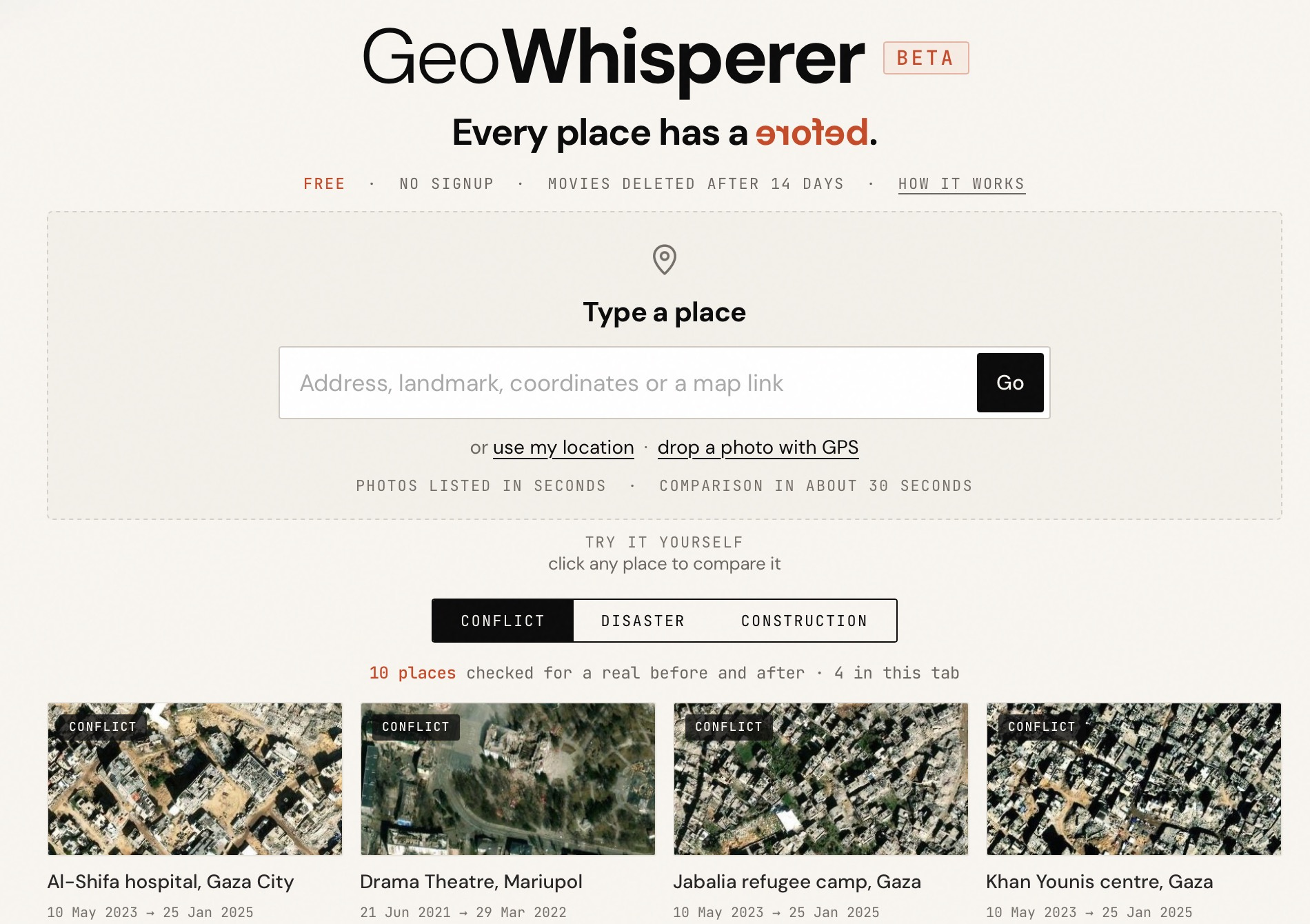
Meet Geo Whisperer Beta. It shows the history of a place — in pictures, in words, and in a short film built from what's changed. Just type in an address and it will tell you what the differences are in satellite images over time.
I built it because location research means stitching together satellite archives. It's slow, and easy to get wrong when you're working fast.
How does it work?
Enter an address and it will fetch satellite images from Maxar, Esri and other suppliers. It will automatically load a before and after image, which you can manually fine-tune to your liking.
1. The photos
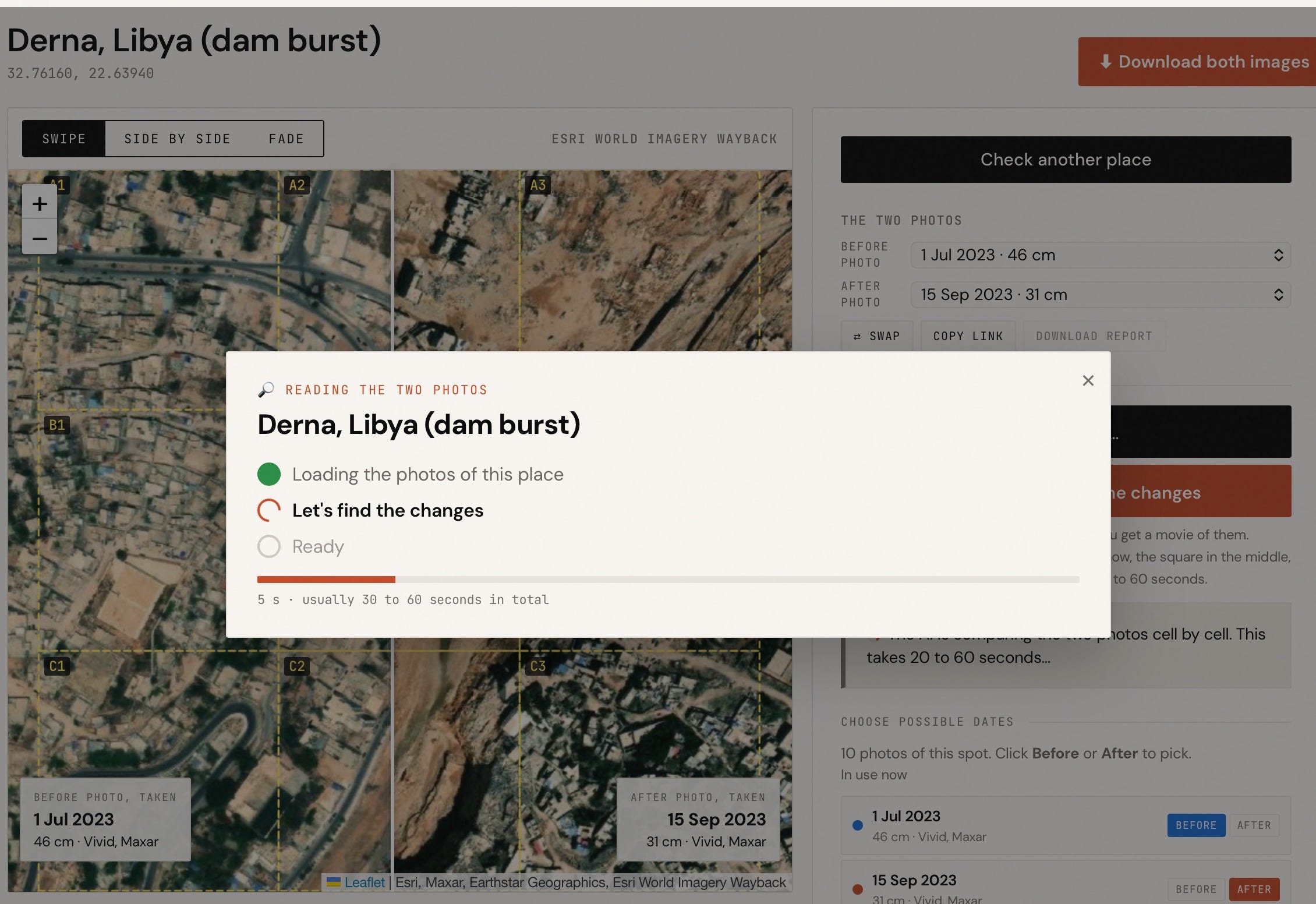
You type a place, paste coordinates or a map link, or drop a photo with a GPS position.
The tool asks the archive which releases hold a different photo, compares the images to remove duplicates, and reads photo’s capture date, resolution and provider from Esri’s records. Most are from Maxar at 30 to 50 cm per pixel.
The dates are the days the satellite took the photo. The first time anyone looks at a place, reading them can take 20 seconds.
2. Pass one: mechanical checks
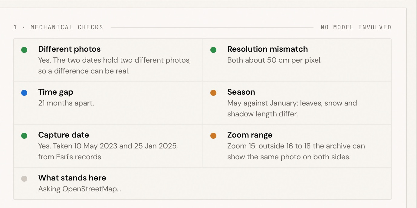
Before any model looks at the photos, seven checks run on the photos and their records: same photo, resolution mismatch, time gap, season, unknown date, zoom range and what stands here. They are explained one by one on the checks page. You can switch each off in Settings.
3. Pass two: the reading
The reading gets a fixed square around the centre of the map, from both dates, with the same 3 by 3 grid drawn on each. It is told to describe the first photo cell by cell, then the second, then compare, and to test every difference against shadows, season, sharpness, viewing angle, colour balance and parked cars before calling it a change. It must never say why something happened or who did it.
4. What we throw away
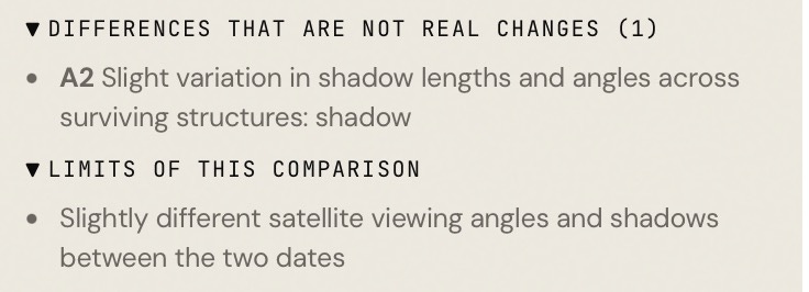
Every reported change must name what is visible in that cell in the first photo and in the second. A change that does not, or that points at a cell that does not exist, is deleted before it reaches you. You can see what was deleted under Thrown away in every result.
5. Evidence, movie and report
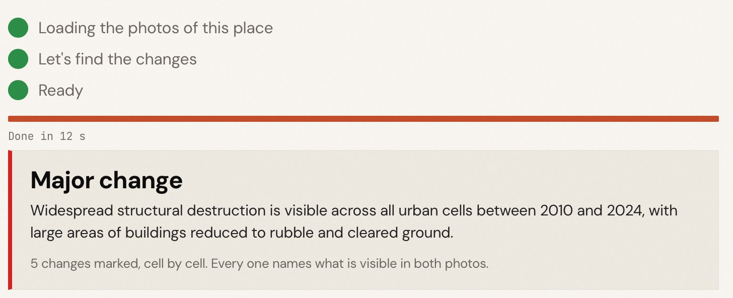
Click any change for its evidence card: the two dated crops, the before and after sentences, the coordinates, and links to look further in Google Earth, Sentinel Hub, OpenStreetMap, Mapillary and a news search limited to the dates between the photos.
Make a movie turns the result into an MP4 with numbered markers. Download report gives a one-page PDF with both photos, the checks and every change. Both carry the credit line. Movies are deleted after 14 days.
6. What it cannot do
It only knows the photos Esri published. A place can change several times between two photos.
The reading can miss changes and misread shadows, season and viewing angle. Check every change by eye with the slider.
Nothing here says who did something or why. That is your job to find out.